A biweekly newsletter with public space news, resources, and opportunities.
A curated dispatch on all things public markets plus the latest announcements from the Market Cities Program.

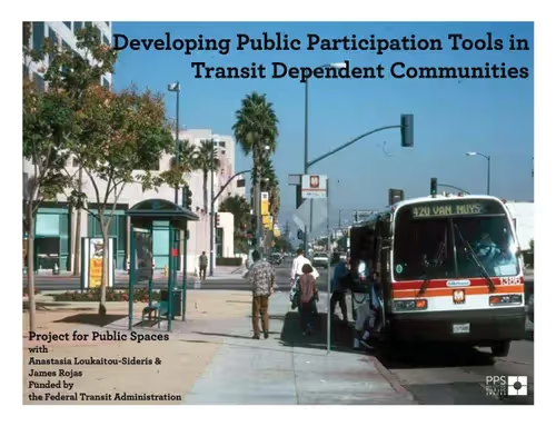
Engaging minority, non-English speaking, and low-income communities in transportation planning represents an enormous challenge for planners, designers, government agencies, and municipal officials alike. Low-income constituencies are more dependent on walking, biking, and using transit than other groups, yet they do not often get the opportunity to articulate how their community’s transportation infrastructure could be enhanced to better meet their needs.
With funding from the Federal Transit Administration’s Public Transportation Participation Program, Project for Public Spaces, the UCLA Department of Urban Planning, and the Latino Urban Forum created this series of tools to more effectively engage transit riders in the planning of transit stations, systems and networks—especially regarding the walking environment to and around transit stops and stations.
The planning tools were designed to provide communities with methods to communicate their vision for the role that transit facilities and service can have in realizing a broader range of community development goals. They include assessment maps; quality of the journey and quality of the transit stop surveys; community destination and transit route mapping; the walk-it audit, an evaluation of the walking trip to transit; the place-imagination exercise, a photo montage board showcasing best-practices; and a modeling exercise.
The tools developed in this guidebook were tested in two pilot neighborhoods in Brooklyn, NY, and Los Angeles, CA. In both neighborhoods, the tools proved successful in engaging a wide range of participants of different age groups, ethnicities, and cultures in meaningful discussions about the quality of the pedestrian environment, major improvements that need to made, and the most appropriate partners with whom they could work with to achieve these goals.